Magnetics &
Magnetic Gradiometry
Total-field and vertical-gradient surveys for ferrous object detection, geological boundary mapping, UXO/UST localisation, landfill characterisation and archaeological investigation.
Measuring Earth's
Magnetic Field
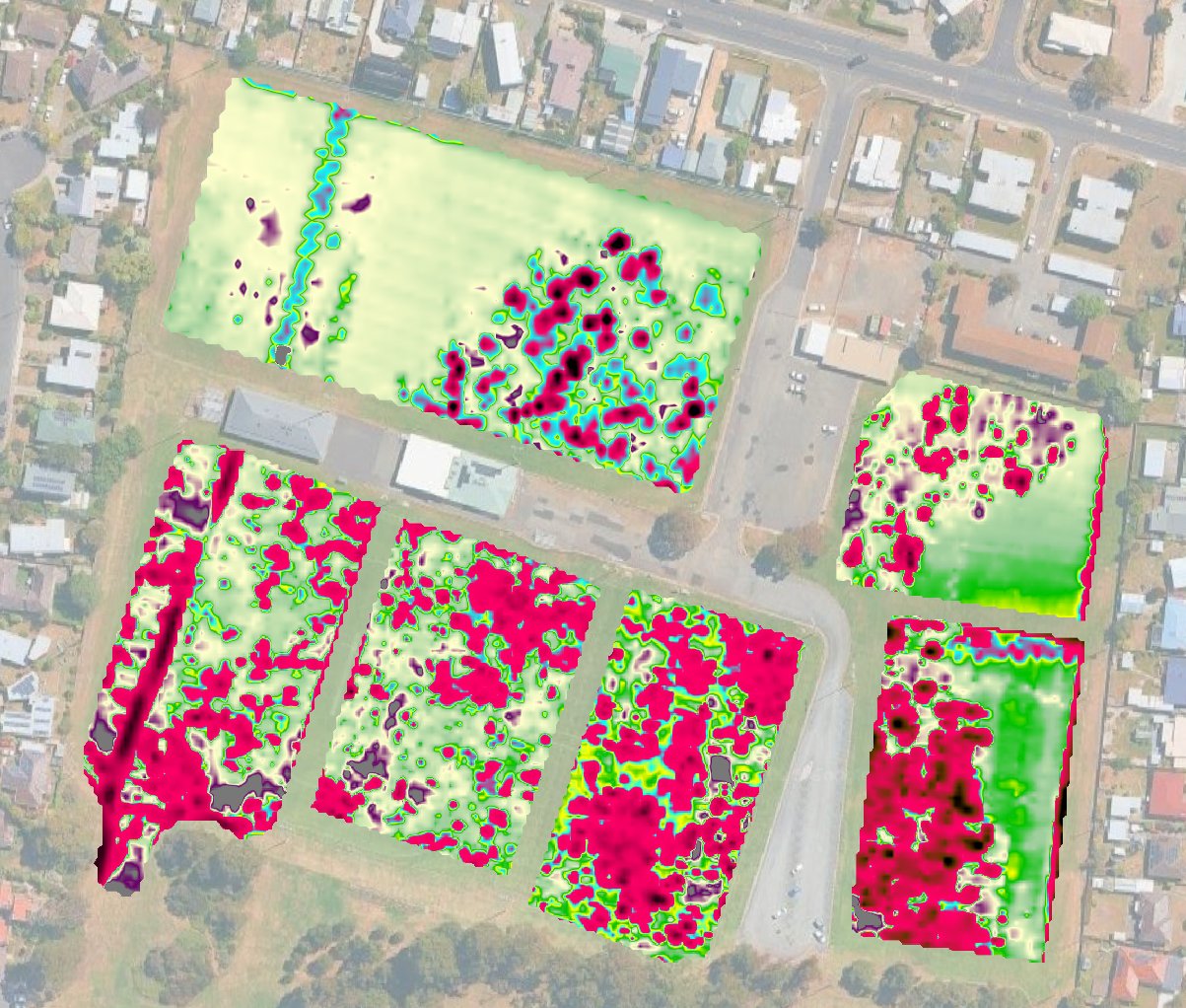
Magnetic surveying measures spatial variations — anomalies — in Earth's ambient magnetic field caused by contrasts in the magnetic susceptibility of subsurface materials. Ferrous objects, magnetite-bearing geology and thermally altered soils all generate measurable field perturbations superimposed on the regional geomagnetic background.
SGC operates the GEM Systems GSM-19 Overhauser magnetometer — one of the most sensitive and stable total-field sensors available for near-surface work. The Overhauser effect provides continuous, absolute field measurements without the heading errors, warm-up drift or polarisation dependency that affect fluxgate and proton precession sensors.
Surveys are conducted in total-field or vertical-gradient gradiometer configuration. Gradiometry measures the rate of change of the field with height, dramatically suppressing regional gradients and enhancing near-surface targets — the preferred configuration for archaeological and UXO applications.
The Overhauser sensor requires no heading corrections and produces no dead zones — unlike proton precession instruments — enabling continuous data collection at walking pace in any orientation.
Where Magnetics
Delivers
Magnetic surveys are highly cost-effective over large areas and require no ground contact — ideal for rapid site screening, followed by targeted investigation with complementary methods.
What Creates
a Magnetic Anomaly?
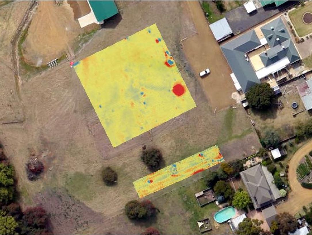
Kempton Manor
Archaeological Survey, Tasmania
High-resolution magnetic gradiometry at a colonial-era heritage property — detecting remnant structural features, fired ground and ferrous artefact concentrations within the curtilage of a listed historic building. Survey grid 0.5 m line spacing, 0.25 m traverse spacing.