Bedrock
Mapping
Tasmania
Depth to Bedrock · Identify Weathered Rock Zones · Sub-Soil Profiling
Depth to Bedrock
Identify Competent Bedrock Zones
across Tasmania
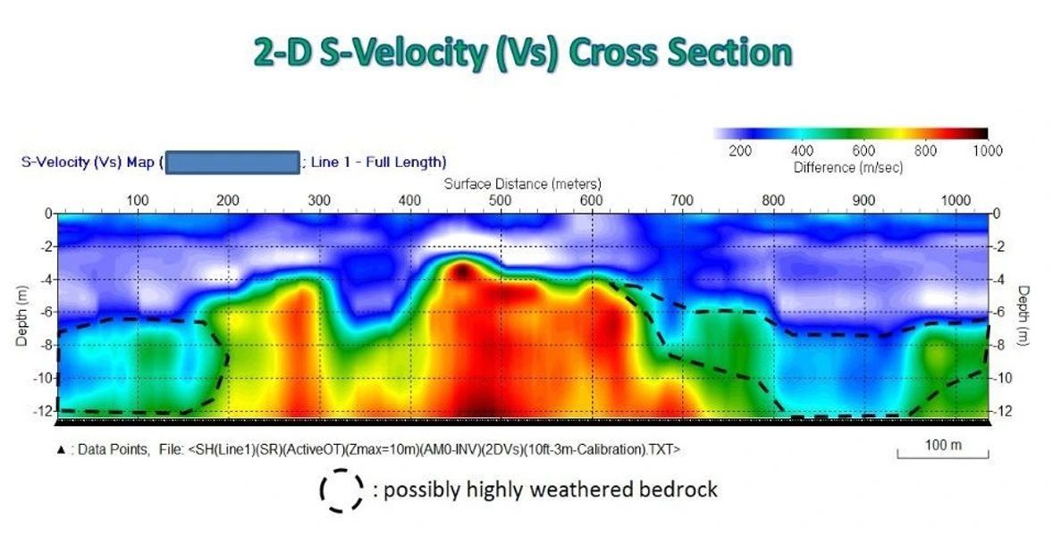
Bedrock mapping uses advanced, non-invasive geophysical techniques to image the subsurface and define the interface between unconsolidated overburden and rock, characterising competent and weathered rock zones. Our surveys provide continuous subsurface coverage, revealing depth to bedrock, rockhead topography and lateral variations across Tasmania
The resulting models support informed decision-making for building foundations, transport infrastructure, dams, pipelines, renewable energy developments, quarry investigations and geotechnical assessments. They also provide valuable context for optimising drilling programs by identifying where intrusive investigation is most effective.
Compared with conventional drilling alone based around incomplete lateral geotechnical dataset, geophysical bedrock mapping delivers faster coverage, significantly improves understanding of subsurface conditions and reduces investigation costs. The result is a more complete geological model that enables engineers, geotechnical consultants and project managers to design with greater certainty and manage ground-related risk from the earliest stages of a project.
Geophysical bedrock surveys cover hundreds of metres of profile per day — delivering the sub-soil picture that drill programs alone cannot provide economically.
| Layer | Description | Geophysical Signal |
|---|---|---|
| Topsoil | Organic-rich surface layer, 0.1–0.5 m | Low velocity, high conductivity |
| Subsoil / Clay | Weathered, plastic material; variable thickness | Low resistivity, low seismic velocity |
| Saprolite | Deeply weathered rock retaining original fabric | Transitional resistivity increase |
| Weathered Bedrock | Fractured, partially altered rock | Rising resistivity and velocity |
| Fresh Bedrock | Competent, unweathered rock — engineering foundation | High resistivity, high P-wave velocity |
Build on
Solid Ground
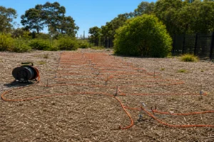
Electrical resistivity profiling for bedrock mapping Tasmania
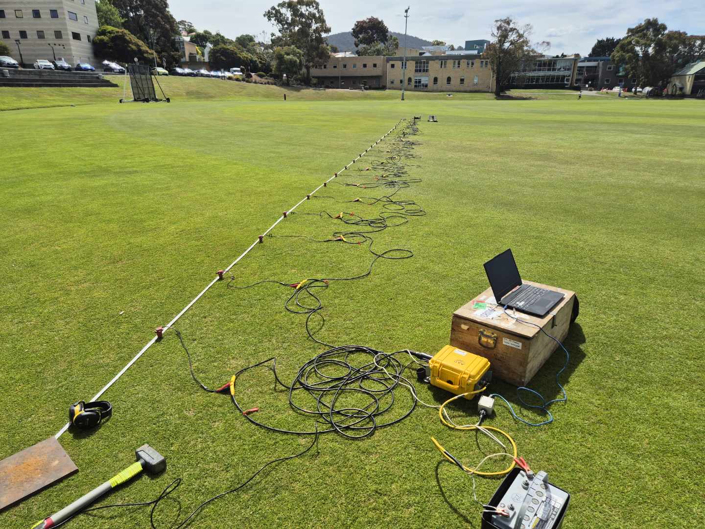
Seismic surveys can resolve regolith weathering profile and depth to competent bedrock
Map Regolith, Weathering & Bedrock Across Your Site
Whether you are designing a building foundation, planning a road cutting, siting a dam, or assessing slope stability, knowing where bedrock is before you build saves cost, reduces risk and prevents engineering failures.
Unexpected variations in bedrock depth — sudden drops, buried valleys, or isolated rock pinnacles — are among the most common causes of cost blowouts in civil construction. A geophysical bedrock survey identifies these features across the entire site before a single pile is driven or excavator moves.
Across Tasmania, bedrock geology ranges from dolerite intrusions and sandstone on the Central Plateau and east coast to schist and quartzite in the west and basalt in the Midlands. Each rock type produces distinct geophysical contrasts — allowing us to resolve bedrock depth and character with confidence.
Bedrock depth alone is only part of the picture. The material between the surface and fresh rock — the regolith — varies enormously in its engineering properties. Deeply weathered clay-rich saprolite behaves very differently from coarse gravelly colluvium, and both differ from fractured transitional rock.
Geophysical surveys resolve not just where bedrock is, but the character and internal structure of the overlying profile — distinguishing between competent and weakly weathered zones, identifying clay-rich layers that may control drainage or slope stability, and mapping lateral variability that borehole logs alone cannot capture.
This is especially valuable in Tasmania's complex geological landscape, where dolerite weathering produces thick clay-rich profiles in low-lying areas, and where transported colluvial and alluvial materials can mask highly variable bedrock topography beneath.
Bedrock Mapping
Methods — Tasmania
The best method depends on your target depth, site access, geology and what decisions the data needs to support. We routinely combine methods to resolve both the depth and character of the bedrock surface.