UXO & UST
Detection
Tasmania
Unexploded Ordnance · Underground Storage Tanks · Buried Drums · Metallic Hazard Mapping
Locate Buried Hazards
Before You Excavate
Unexploded ordnance, underground fuel tanks and buried metallic hazards present serious risk to workers, the public and the environment. In Tasmania, former military training areas, decommissioned industrial sites and properties with undocumented filling and waste disposal histories can conceal hazards that are completely invisible at the surface — until excavation uncovers them.
We deploy ground magnetics, Ground Penetrating Radar (GPR) and electromagnetic (EM) locating instruments to systematically survey sites for buried ferrous and non-ferrous targets before any ground disturbance occurs. The result is a georeferenced anomaly map identifying the location, depth and priority classification of all detected targets — enabling safe, informed excavation and regulatory compliance.
Our multi-method approach ensures nothing is missed — magnetics targets ferrous ordnance and steel tanks; GPR detects fibreglass tanks, voids and non-metallic hazards; EM locates shallow metallic debris. Combining all three provides complete subsurface hazard coverage across the survey area.
Striking an unexploded shell, pressurised fuel tank or contaminated drum during excavation is entirely preventable. A geophysical hazard survey before you break ground costs a fraction of what an incident does.
| Target | Magnetics | GPR | EM |
|---|---|---|---|
| UST / drums | ✓✓✓ | ✓✓✓ | ✓✓✓ |
| UXO / ordnance | ✓✓✓ | ✓✓ | ✓✓ |
| Buried pipelines | ✓✓✓ | ✓✓ | ✓✓✓ |
| Metallic debris | ✓✓✓ | ✓ | ✓✓✓ |
No single method detects all hazard types. Running magnetics, GPR and EM together ensures complete coverage — steel and fibreglass tanks, ferrous ordnance and non-metallic targets are all captured in a single survey programme.
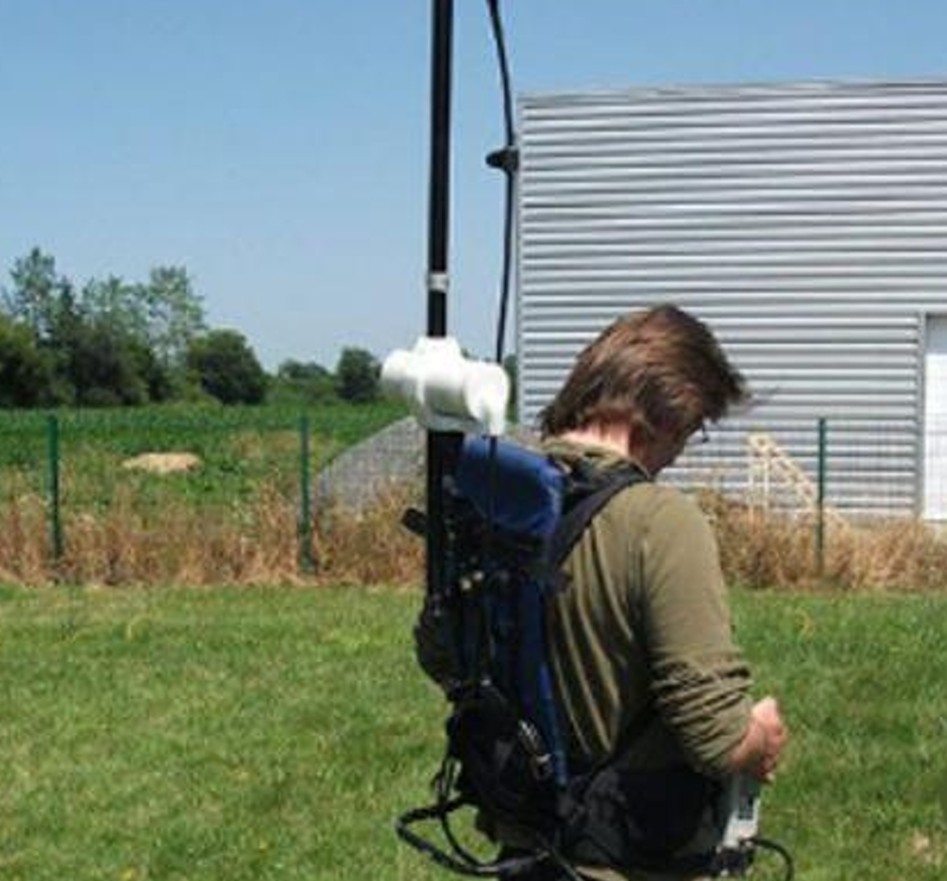
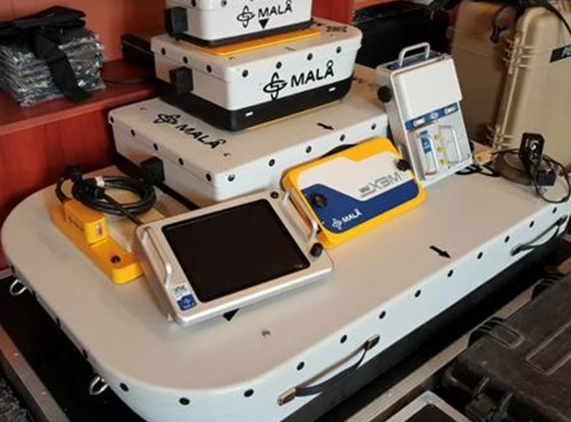
Spaulding Geophysics have a full suite of GPR antennae, magnetometers and Electromagnetic Instruments for a range of depths and environments
How We Detect
Buried Hazards
Ground magnetics is the primary method for UXO and ferrous hazard detection. A fluxgate or caesium vapour magnetometer carried at walking pace measures variations in the Earth's magnetic field caused by buried iron and steel objects — ordnance, tanks, drums and metallic debris. Ferrous targets produce characteristic dipolar anomalies that allow target identification, location and depth estimation to be determined from the data alone without any excavation.
Ground Penetrating Radar (GPR) is indispensable for detecting non-ferrous targets — fibreglass tanks, concrete-encased pipes and non-metallic containers — that are completely invisible to magnetics. GPR also resolves the geometry and depth of steel tanks more precisely than magnetics alone, and can identify hydrocarbon-impacted soils and voids associated with leaking USTs.
Electromagnetic (EM) locating detects near-surface metallic conductors — buried cables, pipelines and shallow metallic debris — complementing both magnetics and GPR for complete coverage of the upper 2–3 m where small hazards are most common.
UXO & UST Detection
Methods — Tasmania
The optimal combination of methods depends on the suspected hazard type, depth and site conditions. We design each programme to maximise detection probability while minimising survey time and cost.