Get Quote
Heritage Preservation

Archaeo-
Geophysics

Unmarked Burials  ·  Artefacts  ·  Heritage Structures  ·  Aboriginal Sites

Preserving the Past
Non-Destructively

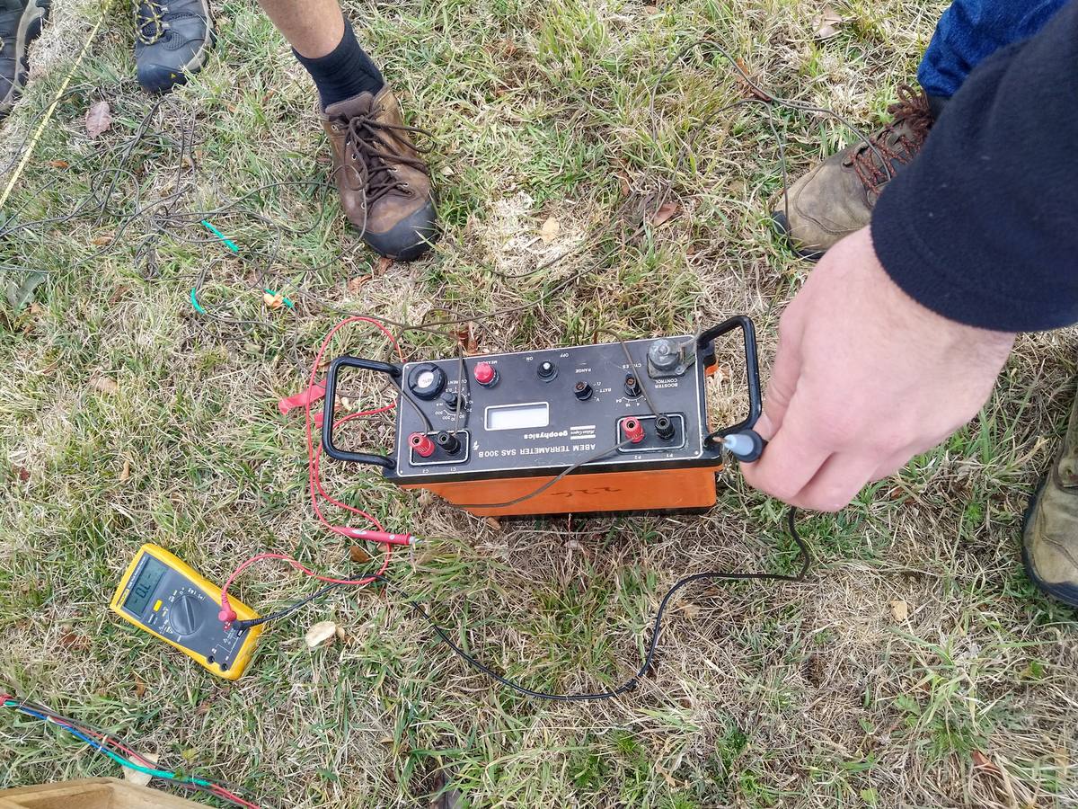
Archaeological geophysics applies non-invasive techniques to detect and study buried archaeological features and sites — no excavation or damage to the site is required.

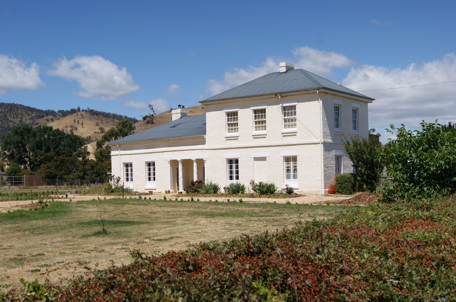
It plays a crucial role in studying and preserving sensitive sites such as Aboriginal burials, middens and convict settlements, enabling researchers to survey large areas, identify excavation targets, and reduce fieldwork cost.

Geophysics allows for the preservation of heritage locations while gaining insights into past human activity — safeguarding them for future generations.

Method vs Application Matrix
Method Burials Structures Artefacts
GPR✓✓✓✓✓✓✓✓
FDEM / Electromagnetics✓✓✓✓✓✓✓
Magnetometry✓✓✓✓✓✓✓✓
Electrical Resistivity✓✓✓✓✓
Archaeological survey Tasmanian

Geophysical Methods
for Archaeology

EM
FDEM / Electromagnetics
Speed
Rapid GPS-integrated collection over large areas
Detects
Buried metallic objects, stone walls, ancient roads
Aboriginal
Ferrous soils from fire pits, middens and hearths
MAG
Magnetometry
Sensitivity
Detects small changes in magnetic field
Ideal for
Hearths, kilns, metalworking and convict settlements
Output
Magnetic anomaly maps, target prioritisation
GPR
Ground Penetrating Radar
Resolution
Features from centimetres to several metres depth
Strengths
Non-invasive · Real-time results · High resolution imaging
Applications
Burials, voids, wall foundations, pits

What We
Detect

Walls, foundations, crypts and unmarked burials can be detected through subtle variations in the electrical and magnetic properties of subsurface materials — with no digging.

    Artefacts
    Identify metal, stone and pottery fragments; map distribution without disturbing the site
    Structures
    Buildings, roads and constructed features mapped using multiple methods
    Burial sites
    Unmarked burials via GPR and FDEM without site disturbance
    Aboriginal sites
    Middens, stone tool scatters, sacred sites and scarred trees
    Convict settlements
    Heritage-listed locations documented non-destructively

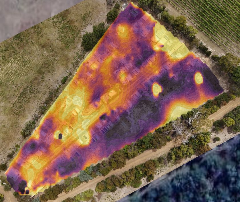
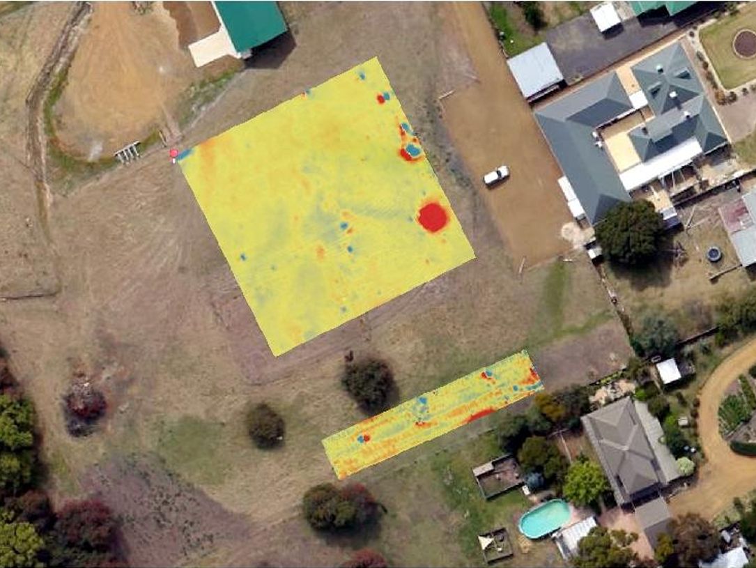
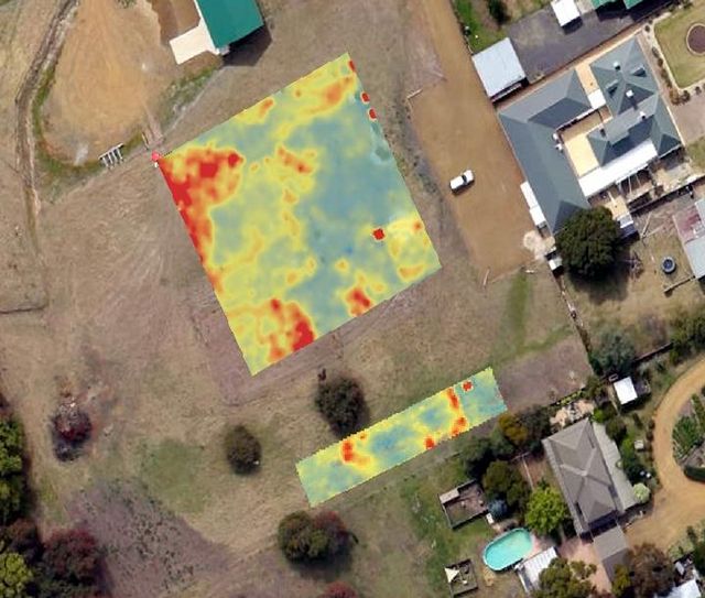
Left: EM conductivity anomaly map. Top right: Magnetic anomy map. Bottom right: Restivity anomalies.

Geophysical survey results — heritage site

Precision Anomaly
Mapping

Geophysical surveys pinpoint subsurface anomalies for targeted excavation — dramatically reducing fieldwork time and cost while protecting the integrity of the site.

Discuss Your Project

Areas We
Serve in Tasmania

Spaulding Geophysics provides archaeological site-assessment and subsurface imaging across Tasmania, from Hobart and Launceston to regional centres, coastal towns, and remote communities statewide.

South & Greater Hobart
  • Hobart
  • Kingston
  • Margate
  • Kettering
  • Bruny Island
  • New Norfolk
  • Sorell
  • Dodges Ferry
North & Launceston
  • Launceston
  • George Town
  • Longford
  • Perth
  • Hadspen
  • Westbury
  • Deloraine
  • Bridport
Northwest Coast
  • Devonport
  • Burnie
  • Ulverstone
  • Wynyard
  • Penguin
  • Smithton
  • Latrobe
  • Port Sorell
East Coast & Midlands
  • Bicheno
  • St Helens
  • Scottsdale
  • Swansea
  • Campbell Town
  • Ross
  • Queenstown
  • Huonville

Spaulding Geophysics delivers on-site archaeological site-assessment and subsurface imaging across all of Tasmania — including Hobart, Launceston, Devonport, Burnie, Ulverstone, George Town, Longford, Deloraine, Smithton, Wynyard, Bicheno, St Helens, Scottsdale, Queenstown, Huonville, Kingston, Kettering, Bruny Island and surrounding communities. Remote and regional sites welcomed.