Magneto-
tellurics (MT)
Deep Resistivity · Crustal Imaging · Mineral Systems · Natural EM Fields
Magnetotellurics
(MT)
Magnetotellurics (MT) is a passive geophysical method that uses natural variations in the Earth’s electromagnetic field — caused by solar wind and lightning — to image subsurface electrical resistivity from hundreds of metres to tens of kilometres depth.
Simultaneous measurements of orthogonal electric (E) and magnetic (H) field components at the surface allow calculation of the impedance tensor, which is inverted to produce 2D or 3D resistivity models of the crust.
MT is the premier tool for deep mineral system imaging, crustal architecture, and basin evaluation — critical for targeting blind deposits in Tasmania’s prospective terrains such as the Mount Read Volcanics.
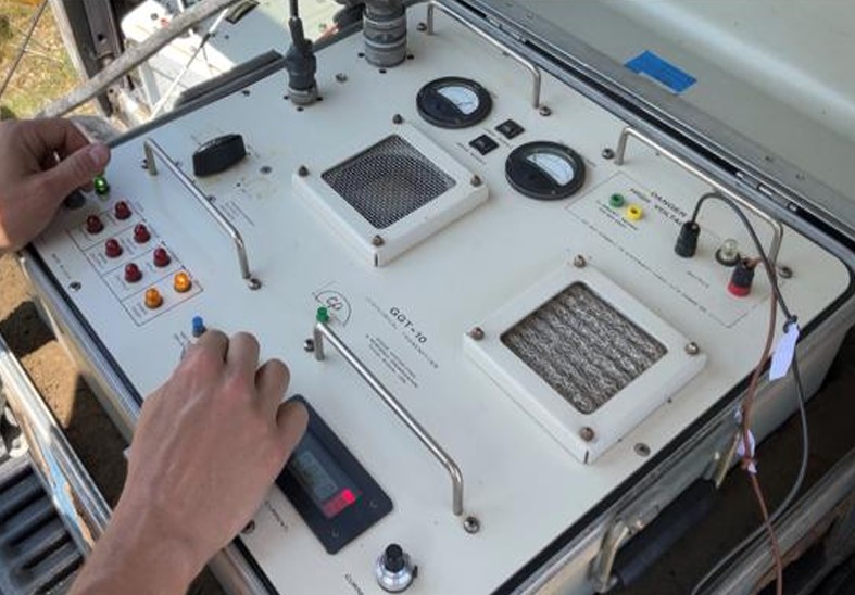
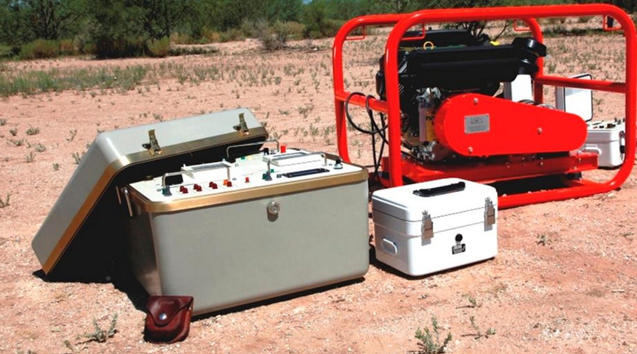
CSAMT equipment and generator for controlled source
Unlike passive Magnetotellurics which relies on natural electromagnetic fields, CSAMT uses a powerful controlled transmitter as the signal source. This provides much stronger and more consistent signals, resulting in higher data quality, faster acquisition, and better resolution at target depths. The recorded time-series data are processed into the frequency domain and inverted using robust 2D and 3D algorithms to produce detailed resistivity models of mineral systems and geological structures.
MT System
Operation
MT stations record natural EM field variations over long periods (hours to days) using non-polarising electrodes and induction-coil or fluxgate magnetometers. Broadband MT covers frequencies from ~10,000 Hz (shallow) to 0.0001 Hz (deep crustal).