Karst
Geophysics
Sinkhole Detection · Void Mapping · Dissolution Characterisation · Foundation Risk
Subsurface Voids
Without Drilling
Karst landscapes develop where soluble bedrock — principally limestone, dolomite or marble — is progressively dissolved by slightly acidic groundwater over geological time. The result is a complex subsurface architecture of conduits, dissolution voids, sinkholes, solution pipes and pinnacled bedrock overlain by variable thicknesses of clay-rich residual soils and terra rossa.
These features pose serious risk to infrastructure, foundations and groundwater resources. Geophysical surveys allow rapid, non-invasive characterisation of karst terrain — locating air-filled and water-filled voids, mapping epikarst dissolution zones, and resolving the soil–bedrock interface across large areas at a fraction of the cost of systematic drilling.
A sinkhole undetected during site investigation can cause catastrophic foundation failure. Geophysics identifies the risk zones before you build — or before they collapse.
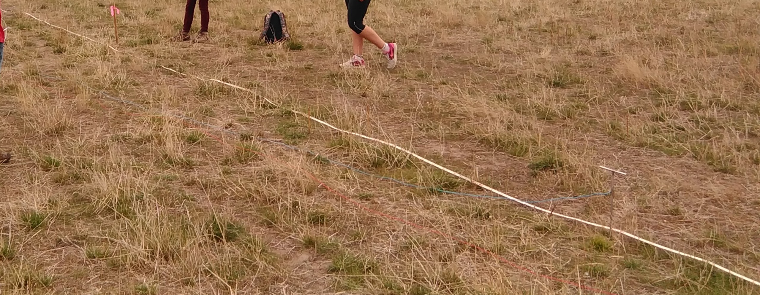
ERI electrode array deployed over Tasmanian karst terrain — resolving dissolution voids and bedrock topography to depths of 30–80 m without drilling
- Mole Creek — Ordovician Gordon Limestone; poljes at Mayberry & Loatta; Category A hazard; active sinkholes recorded
- Gunns Plains — Category A; agricultural land directly on limestone with known cover-collapse sinkhole risk
- Smithton-Mella — Category A/B; Smithton Limestone; north-west coastal plain with industrial and agricultural development
- Junee-Florentine — deep karst system; major groundwater resource; conduit depths exceeding 80 m
- Hastings & Lune River — Category B; 25+ km of mapped cave passage; groundwater-sensitive terrain
Where Karst
Demands Investigation
Tasmania hosts some of Australia's most significant karst. The Ordovician Gordon Limestone underlies approximately 400,000 hectares and includes internationally significant systems at Mole Creek, Gunns Plains, Smithton-Mella, Hastings and the Junee-Florentine karst. The Atlas of Tasmanian Karst classifies all carbonate rock areas into hazard categories — Category A and B karsts at Mole Creek, Gunns Plains and Smithton-Mella present the highest risk for development and infrastructure.
In Victoria, karst terrain is found in the Buchan and Murrindal districts of East Gippsland, where Devonian limestones host cave systems and sinkhole-prone cover sequences.
Choosing the Right
Method for Karst
No single method resolves all karst targets equally — and some common choices have real limitations in Australian karst conditions. ERI is the backbone of most karst programmes — resolving air voids, water conduits, clay-infilled pipes and the soil–bedrock interface to 30–80 m depth.
FDEM delivers rapid large-area reconnaissance. Seismic refraction and MASW provide the velocity structure needed for bedrock mapping and AS 1170.4 site classification. Microgravity is reserved for larger, deeper void targets where mass-deficit detection is required and ERI alone is ambiguous.
The clay-rich terra rossa and residual soils overlying Tasmanian limestone severely attenuate high-frequency electromagnetic energy, restricting GPR to the upper 2–4 m. Dissolution zones are typically clay-infilled and produce very little GPR reflectivity regardless of depth.
We design the programme around your site conditions — cover type, target depth, void fill and access — not a default method list.
| Method | Air Voids | Dissolution | Bedrock | Conduits |
|---|---|---|---|---|
| ERI | ✓✓✓ | ✓✓✓ | ✓✓✓ | ✓✓✓ |
| FDEM | ✓ | ✓✓✓ | ✓✓ | ✓✓ |
| GPR <4m | ✓✓✓ | ✗ | ✓✓ | ✓ |
| Refraction | ✓ | ✓✓ | ✓✓✓ | ✓ |
| MASW | ✓✓ | ✓✓ | ✓✓✓ | ✓ |
| Microgravity | ✓✓✓ | ✓✓ | ✗ | ✓✓ |
GPR depth is limited to ~2–4 m by clay-rich cover soils common over Tasmanian limestone. Dissolution zones are clay-infilled and produce negligible GPR reflectivity — ERI is the preferred method. Microgravity is a specialist supplementary tool suited to larger mass-deficit targets at depth, not routine reconnaissance.
ERI & FDEM
in Karst Terrain
Electrical Resistivity Imaging (ERI) is the most consistently effective geophysical method for karst characterisation. DC current injected via steel electrodes returns a 2D or 3D inverted resistivity section resolving the full stratigraphy to depths of 30–80 m.
Air-filled voids present as very high-resistivity anomalies (>10,000 Ω·m). Water-filled conduits present as very low-resistivity anomalies (<10 Ω·m). Clay-infilled dissolution pipes produce intermediate conductive zones contrasting sharply with the resistive limestone background. Conductive chimneys descending toward a high-resistivity zone are a recognised ERI signature for cover-collapse sinkhole precursors — detectable before any surface expression develops.
FDEM reconnaissance screens large areas before ERI deployment — identifying anomalous conductive zones in the cover sequence that warrant close investigation, reducing overall survey cost.
What You
Receive
- ERI multi-electrode array profiles
- FDEM reconnaissance at 5–20 m line spacing
- GPR grids over target zones (where cover permits)
- Seismic refraction / MASW as required
- ERI 2D / 3D least-squares inversion
- FDEM ECa gridding and depth slices
- P-wave refraction tomography
- MASW Vs30 profile extraction
- Void and dissolution zone delineation
- Bedrock depth contour maps
- Sinkhole precursor identification
- Risk zone classification
- Full interpretive report with annotated figures
- Georeferenced anomaly & risk maps
- AS 1170.4 site classification (where MASW included)
- Targeted drilling recommendations